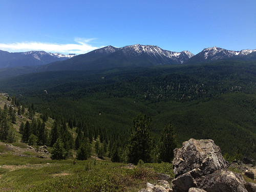
Today I went geocaching in the Starkey Experimental Forest and Range, west of La Grande. This is also part of the Wallowa Whitman National Forest, and is a forest and range management research station.
BEAUTIFUL. The Starkey Forest covers 40 square miles, and contains a wide range of habitats- sagebrush, pine forest, riparian/stream systems, marshy areas, and open grassland. And today was the first time this year I've been enveloped in the glorious sun-warmed ponderosa pine perfume. Ahhh.
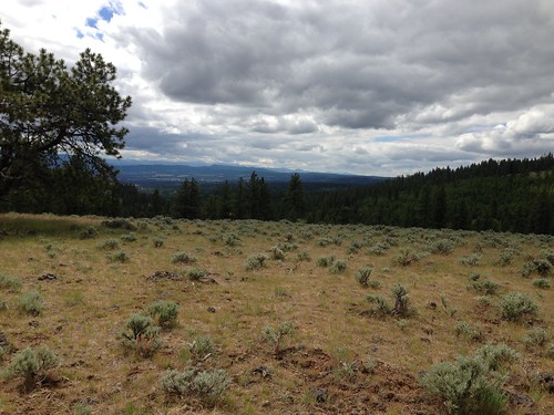
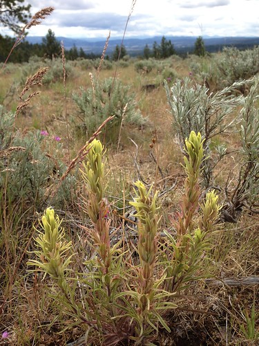
Sagebrush ecosystems are deceptively bland from a distance. Up close, there are so many pretty plants, especially during wildflower season. This is an Indian paintbrush species, I think Castilleja flava.
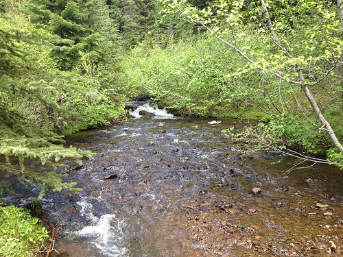
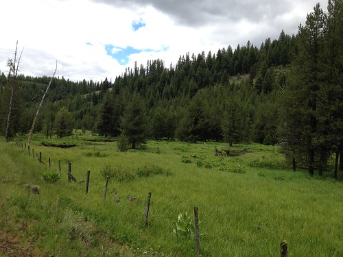
My first geocache was in a stream valley. So pretty.
I got to the parking spot about 9:45. I was walking happily along the path, enjoying the scenery and scanning around, when I glanced across the embankment to my left. I did a literal double-take, as I registered what I had just seen.
Orchid!
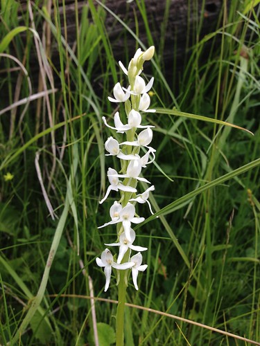
This is Sierra bog orchid (Platanthera dilatata var. leuchostachys) and it is not only beautiful, it's a species I haven't seen before!
There were dozens of plants growing along the embankment, which was boggy and wet from a spring seeping out of the hillside. Orchids are the coolest plants ever.
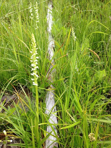
So that was the icing on the cake of my wonderful outdoor day, and it wasn't even 10am yet. But wait, there's more!
After I finished taking pictures of the orchids, I continued on toward the geocache. I hadn't gone more than 10 feet when this beauty landed right in front of me.
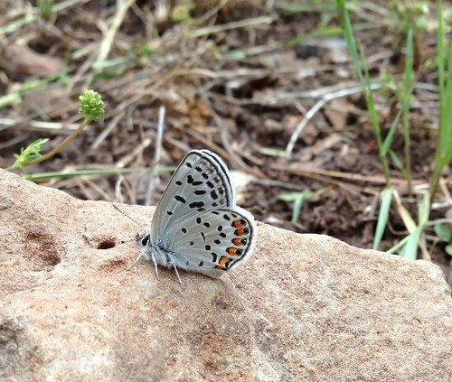
This is an Acmon blue butterfly (Plebejus acmon), a new species for me!
It was now just after 10am, and I still hadn't gotten to any geocaches, but my day was more than complete with a new orchid and a new butterfly. But wait, there's more!
As I rounded the last corner of the path, I saw a tall flash of fuchsia on the other side of the stream. What what?! Over the barbed wire fence I went, off came my boots and socks, and I forded the stream.
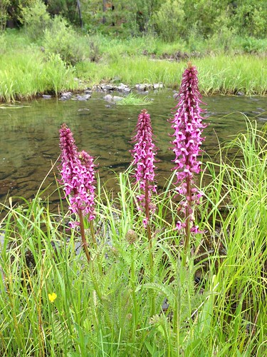
This is not an orchid, but it's a beautiful wildflower that I have wanted to see for more than a decade. Ever since 2001, in fact, when I moved from the east coast to Washington State and started researching what new sorts of things I might see.
It's called the elephant's head flower (Pedicularis groenlandica). Can you see why?
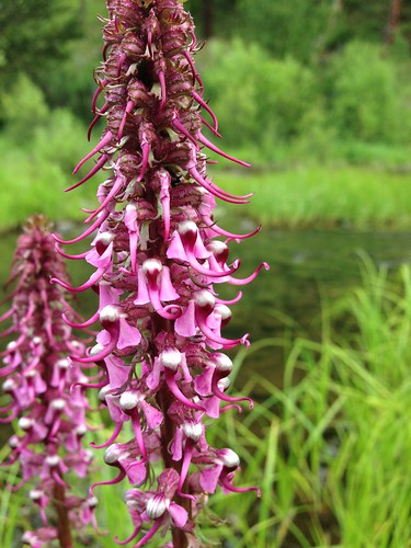
I sat there on the stream bank, in the middle of a patch of about 20 of these flowers, beaming with glee. This is the most delightful wildflower I've ever seen. Every time I look at this picture I giggle again. Love it!
I eventually did get to the geocache, as well as five others, but the hours spent along Meadow Creek first thing in the morning will linger with me for a long time.
Monday, June 17, 2013
Another weekend, another adventure! Yesterday I escaped east of La Grande, again to the Wallowa Whitman National Forest. I just love living completely surrounded by National Forest.
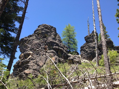
This time I went after a geocache at Cougar Rock. I was out alone again, and I tried not to think too hard about why someone gave this pile of rocks that name. I'm all for being cautious and aware of your surroundings, but you can't be paralyzed by fear.
The rocks were very cool. I had a grand time scrambling around and climbing up to the tippity top. Here's the view as I was walking up the hill. Can you see the face?
Hint: She's looking to the left. The Wallowa Mountains' own moai.
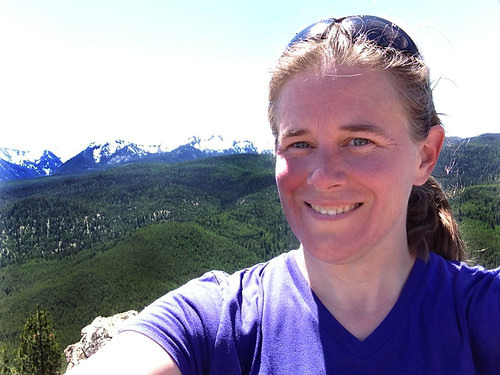
The view from the top was amazing. I could see the towns of North Powder, Union, and La Grande, as well as the Blue Mountains from Mt. Emily to the Elkhorn Range.
The trip was well worth the rough road and steep-ish climb at the end. I spent about two hours at Cougar Rock- watching birds and listening to the forest. It was lovely.
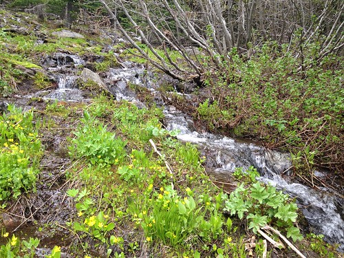
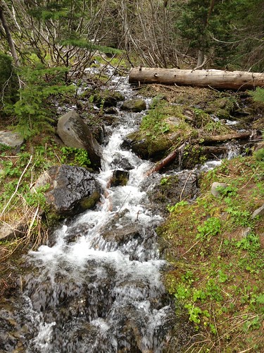
Not only was the goal rewarding, the trip getting there and back was beautiful. There's a lot of water coming down the mountains this time of year, and the creeks are running.
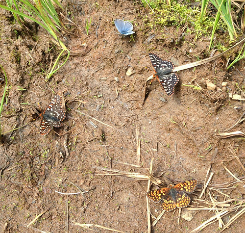
The butterflies were out in full force, too; I counted 13 species and I'm sure I missed some. They love the mud puddles beside the road. Ah, tasty, mineral-rich mud!
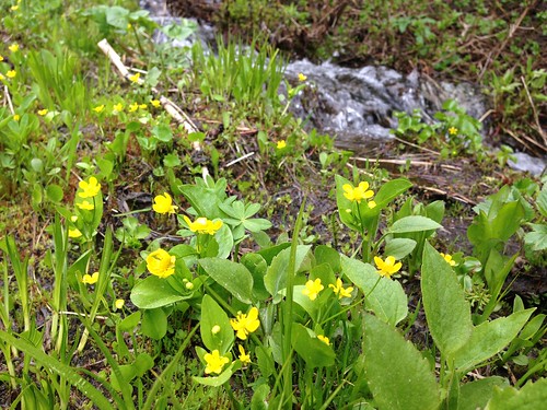
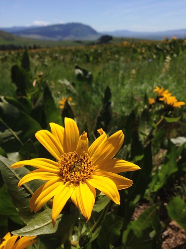
We're also in the midst of wildflower season, and they are beautiful. I especially liked these Blue Mountain buttercups (Ranunculus populago) that were growing along the course of a seasonal stream. There wasn't one single clearly defined channel, just a torrent of water splashing down the rocky hillside on many paths of least resistance.
My greatest disappointment with the state of the world is being unable to drink directly from streams. They just look so inviting and delicious and cold.
However, I have no desire to experience giardia or something equally nasty, so I (reluctantly) don't partake directly from the stream. I do have a filter that I use when camping and hiking, but it's not the same.
Water is wonderful.
Thursday, June 13, 2013
Sunday, June 09, 2013
I took off into the woods on my own today, geocaching of course. I ended up on top of Gorham Butte, 20 miles south of La Grande in the Wallowa-Whitman National Forest.
The elevation at the top is 6125 feet, and while I was able to park fairly close, I climbed the last 700 feet in 0.68 mile (approximately 20% gradient). The distance as the crow flies from my car to the top was only 0.3 mile, but there's no way I was going hike straight up a 45% gradient. I zigzagged, and it was hard enough!
The view from the top, though...
Wow. So completely worth it. A full 360-degree view of the Elkhorn and Eagle Cap ranges.
I was a happy hiker.
Tired and sweaty, but completely happy. Being out in nature revitalizes me.
I was hiking alone today, and while that's not without risks, it gives me an incredible sense of peace. I don't have to talk to anyone, I can go at my own pace, I can watch the birds, and listen to the beautiful nature-silence.
I enjoy the feeling of self-reliance that I get by being out in the middle of nowhere and knowing that I can take care of myself. There was no trail to the top, I had to bushwhack it. While I did have the aid of my GPS unit, I also had a compass and a map, and I know how to use them. I found the cache at the top of the mountain, and most importantly, I found my way back down the mountain to my car. I did let a neighbor know where I was going before I left, in case something went horribly wrong.
It took me over an hour to climb up, but only 20 minutes to get back down!
I love geocaching.
Subscribe to:
Posts (Atom)