
Anyway, fun stuff has happened. Two weekends ago, my geocaching buddy Anne and I went for a walk in the mountains. We did a loop around the Anthony Lake basin, in the Elkhorn Mountains of the Wallowa Whitman National Forest, about 25 miles south of where I live.
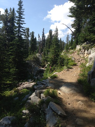
We started out on the Elkhorn Crest Trail, passing Lilypad Lake (Gunsight Butte in the background).

What a great day for a hike!
One of the geocaches was at the tippity top of a peak above Angell Pass. It was quite a climb up from the trail: a roughly 400-foot vertical gain in a 600-foot horizontal distance. Very nearly straight up!
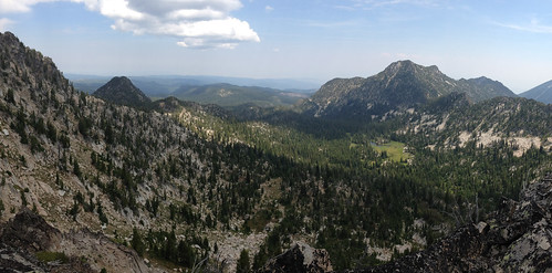
The view from the top was spectacular. This is looking northeast, back the way we came. On the left side of this picture you can see pointy Gunsight Butte (we started hiking on the other side of this peak) and Van Patten Peak on the right.
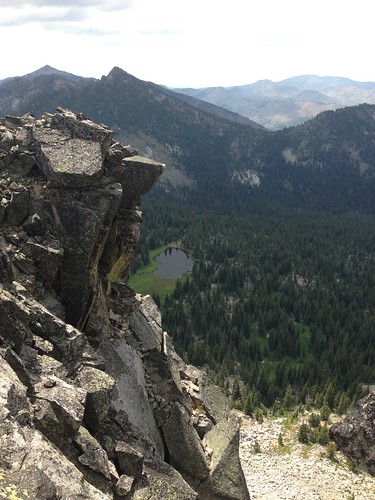
This is looking west, off the other side of the peak where the geocache was, toward Crawfish Meadow.
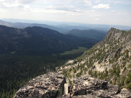
And this is looking south off the geocache peak, toward Dutch Flat Saddle. Quite a drop off!
This is why I love geocaching. I'm quite sure I would never have attempted the climb up that impossibly steep slope to get to this spot on my own. Geocaching brought me here.
After we scrambled back down to the trail, we continued over Angell Pass, across Dutch Flat Saddle, and turned off on to the Crawfish Lake Trail.
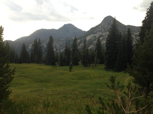
This picture is looking east from the Crawfish Lake Trail toward Crawfish Meadow. The very pointy peak at the far end of the ridge on the right is Lakes Lookout Peak. Our trail curved over the far flank of this mountain before descending back into the Anthony Lakes Basin.

It was a splendid time to be on the trail in eastern Oregon.

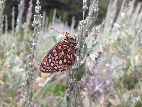
This is a fritillary of some sort, just hangin' out on the sagebrush. There are several species of Speyeria that are confusingly similar.
Once we got around the Lakes Lookout Peak, we dropped down to the Hoffer Lake Trail within the larger Anthony Lake Basin. The ridge of peaks in this picture is the one that we just walked along the other side of.
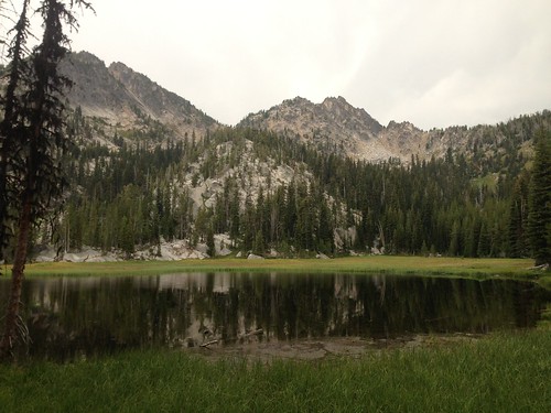
Hoffer Lake was picture-perfect, but we didn't pause too long. There was a thunderstorm brewing, and we wanted to get off the mountain and out of the trees.
The trail was a bit more than 9 miles, including our side trips to a couple geocaches. What a great day.
No comments:
Post a Comment