Last Thursday's mail brought me a new toy: a tent! I've wanted a light tent for ages, one that I could use for backpacking as opposed to just car-camping. I have a tent, but it weighs seven pounds.
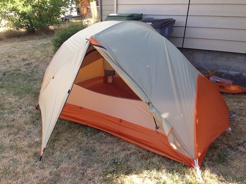
This is a Big Agnes Copper Spur UL2, and it only weighs 3.4 pounds! That might not sound like much of a difference, but trust me, when it's on your back and the campsite is a mile or more away, it is huge.
So my new tent (and also new trekking poles) precipitated an adventure yesterday. My friend Anne has also gotten some new gear recently, so we went backpacking!
Here I am all geared up and ready to hike.
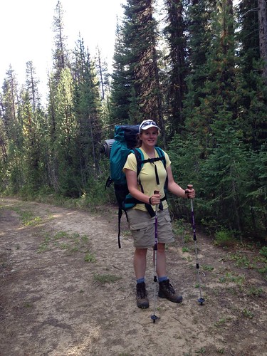
I haven't used this backpack or been backpacking for years. Probably 15 years. And you know what? I did it! I carried everything I needed for an overnight camping trip on my back. Tent, sleeping bag, sleeping pad, food, stove and fuel, cook kit, water filter, everything. And Anne carried all her stuff.
I'm quite proud of us.
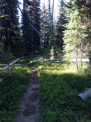
We hiked in to Crawfish Lake, in the Wallowa Whitman National Forest near where we went on our last big hike. It was only 1.3 miles in from the southern trailhead, but it was mainly uphill to get to the lake. It took us an hour to hike it.
It was worth it. It's a lovely spot.
The new tent (shown here before I put on the rainfly) snuggled into the edge of the woods perfectly. Set up was easy and quick, and I like how much mesh there is on the top of the tent. I got the two-person model rather than the one-person so that Emma and I will be able to use it together, and it felt cavernous with just me in it last night. Tons of room for one person.
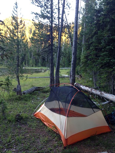
Since yesterday was a work day for me, we didn't start hiking until fairly late. We set up our tents and cooked dinner right away when we got to the lake. There was a convenient log in front of the tents that served as a bench.
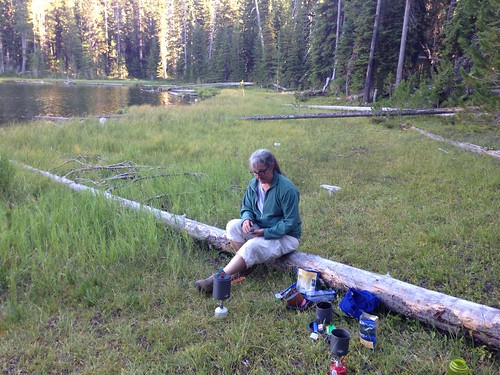
By the time we were done with dinner and a mug of hot tea (tea in the woods is the BEST), it was starting to get dark, so we hung our food from a bear line and settled down to watch the bats and stars come out.
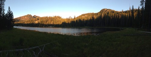
It was wonderful. I headed to bed about 9:30, and slept great all the way until 6:30 this morning. I love camping.
Saturday, August 31, 2013
Saturday, August 24, 2013
Last weekend, Emma and I went over to Portland. It was a Friday through Sunday just-for-fun trip to get out of La Grande, go to thrift stores, and find a good hike.
We did our shopping on Saturday morning/afternoon, and we even braved downtown Portland to go to Powell's Books. I'm not a city person, so this was a Big Deal. I've never been to Powell's, and holy cow, they have a lot of books!
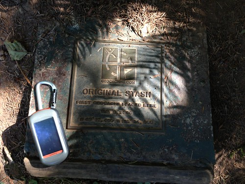
After escaping with what was left of my bank account, we also fled the city and went to do some geocaching. Our target for the day was the Original Stash cache, at the site of the very first geocache that was ever placed.
Got it!
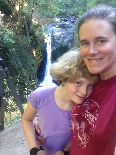
On Sunday, we headed back to La Grande, stopping along the way in the Columbia Gorge to hike. I picked the Horsetail Falls and Oneonta Gorge trails. As, apparently, did everyone else in the greater Portland metro area. I guess that's to be expected on a sunny summer Sunday. I've been spoiled by living on the east side of the state, which is much less populated.
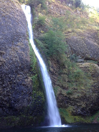
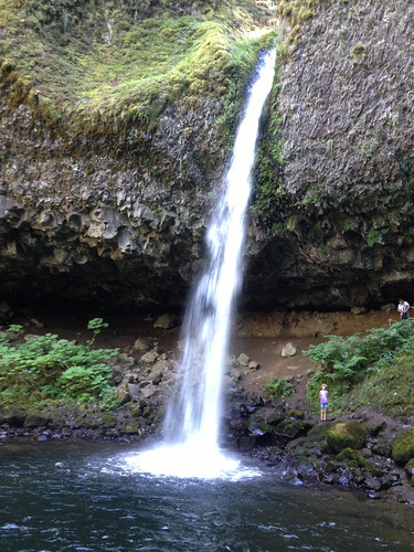
We started off at Horsetail Falls:
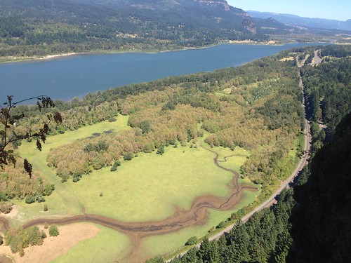
and then hiked upstream to just before Ponytail Falls, where a side trail split off and went up, up, up to the top of the mountain and an amazing view of the Columbia River Gorge.
This is looking east, upstream along the Columbia River. Oregon is the near side of the river and Washington is the far side. The visible highway is the Historic Columbia River Highway, and I-84 is in the line of trees next to the river.
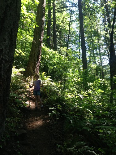
We didn't find the geocache at the top of the mountain, which was frustrating because it was a steep and hard hike, but the view was worth it and Emma was a trooper on the difficult trail.
On the way back down, she said "Mom, I just love the magical green glowing light when the sun shines through the trees. It looks like it can bring worn-out things back to life."
I couldn't agree more.
After we got back to the main trail, we continued up and around Ponytail Falls. The cave behind the falls was fun.
Then a couple more miles winding through the woods to Middle Oneonta Falls, across the footbridge, and back along the trail to the road and our car.
Other than the swarms of people, it was a great hike. I'd like to go back when it's not so crowded.
Friday, August 23, 2013
Have you ever seen a freshwater mussel? Back in North Carolina, oh so many years ago, I did my Master's thesis project on mussels and did surveys for them during a couple later jobs. Freshwater mussels are very cool and I'm always on the lookout for them when I'm in a river or lake.
Last week I spent a day with various agency folks at a mussel workshop here in the Grande Ronde River in La Grande. It was really great to hang out with mussel folks again.
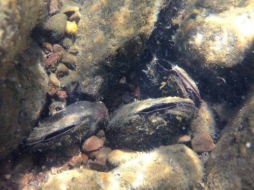
We suited up in drysuits and spent a couple hours snorkeling in the river, seeing what we could see. It was great. We saw tons of Western pearlshells, Margaritifera falcata.
It's one thing to go to the river and walk along the bank. Finding shells on shore is fun, even swimming in the river and finding live mussels is cool. But to put on a mask and actually see the river system from below the surface is like nothing else. You slide into a different world, where the fish are darting around in their three-dimensional space, the mussels are open and siphoning, the caddisfly larvae and snails are crawling around on the rocks, and a garter snake startles you as it weaves through the boulders as it crosses the river. It's an entirely different perspective.
One of the most fun parts was that I recently got a waterproof case for my iPhone (a Lifeproof Fre case). Yes, that picture up there was taken with an iPhone, underwater!
It was an act of faith, dunking my phone in the water that first time when I tested the case at home. I had tried the case without the phone first and knew it was waterproof, but still...
Thursday, August 22, 2013
I am behind in posting the posts I wanted to post, because apparently when I get home from work, all I can handle is sitting down in My Comfy Chair and watching Netflix, putting my brain in neutral, and/or falling asleep for an hour at 7pm, after which I find it impossible to get to sleep for real until 2am. Then I wake up tired, drag through the day, and repeat.
Anyway, fun stuff has happened. Two weekends ago, my geocaching buddy Anne and I went for a walk in the mountains. We did a loop around the Anthony Lake basin, in the Elkhorn Mountains of the Wallowa Whitman National Forest, about 25 miles south of where I live.
We started out on the Elkhorn Crest Trail, passing Lilypad Lake (Gunsight Butte in the background).
What a great day for a hike!
One of the geocaches was at the tippity top of a peak above Angell Pass. It was quite a climb up from the trail: a roughly 400-foot vertical gain in a 600-foot horizontal distance. Very nearly straight up!
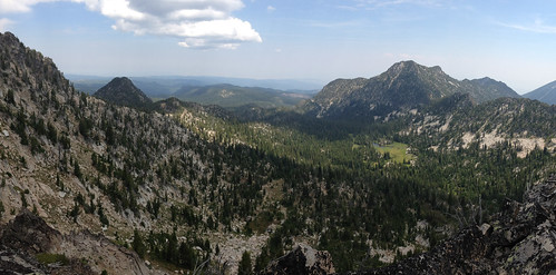
The view from the top was spectacular. This is looking northeast, back the way we came. On the left side of this picture you can see pointy Gunsight Butte (we started hiking on the other side of this peak) and Van Patten Peak on the right.
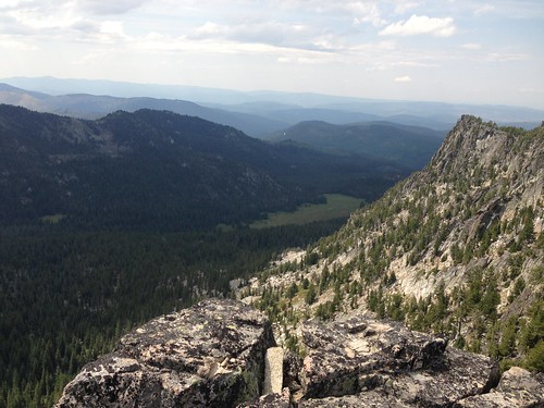
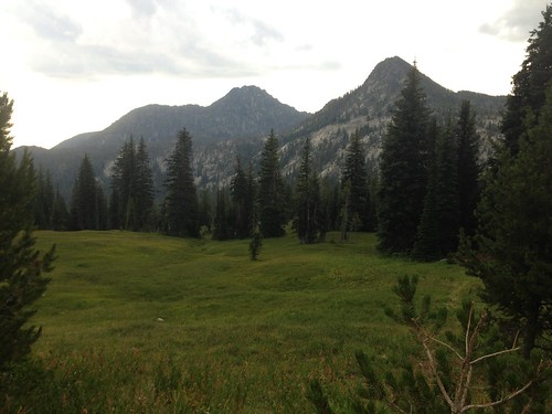
This is looking west, off the other side of the peak where the geocache was, toward Crawfish Meadow.
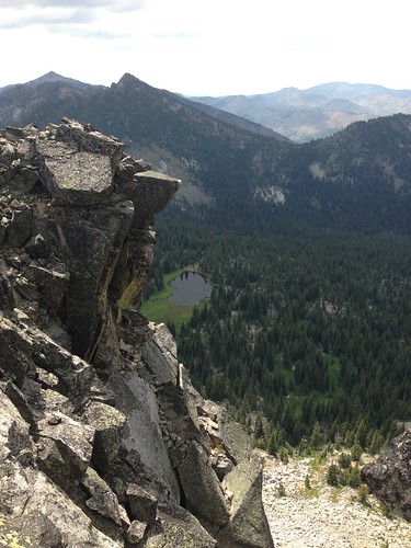
And this is looking south off the geocache peak, toward Dutch Flat Saddle. Quite a drop off!
This is why I love geocaching. I'm quite sure I would never have attempted the climb up that impossibly steep slope to get to this spot on my own. Geocaching brought me here.
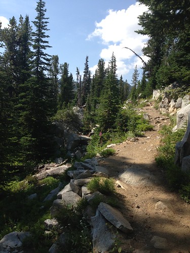
After we scrambled back down to the trail, we continued over Angell Pass, across Dutch Flat Saddle, and turned off on to the Crawfish Lake Trail.
This picture is looking east from the Crawfish Lake Trail toward Crawfish Meadow. The very pointy peak at the far end of the ridge on the right is Lakes Lookout Peak. Our trail curved over the far flank of this mountain before descending back into the Anthony Lakes Basin.
It was a splendid time to be on the trail in eastern Oregon.
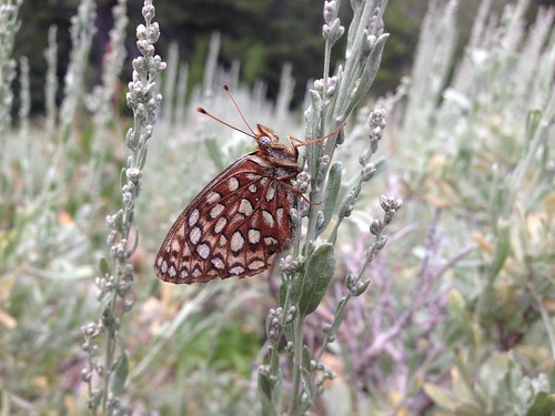
This is a fritillary of some sort, just hangin' out on the sagebrush. There are several species of Speyeria that are confusingly similar.
Once we got around the Lakes Lookout Peak, we dropped down to the Hoffer Lake Trail within the larger Anthony Lake Basin. The ridge of peaks in this picture is the one that we just walked along the other side of.
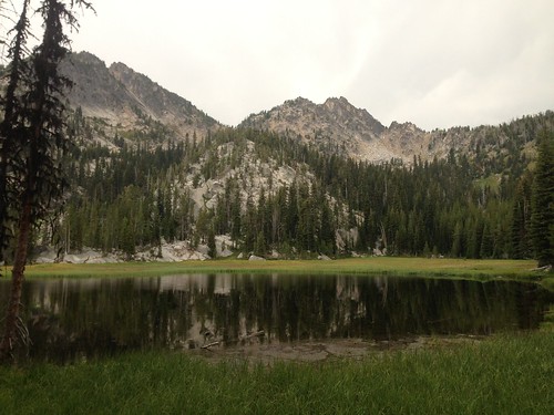
Hoffer Lake was picture-perfect, but we didn't pause too long. There was a thunderstorm brewing, and we wanted to get off the mountain and out of the trees.
The trail was a bit more than 9 miles, including our side trips to a couple geocaches. What a great day.
Wednesday, August 21, 2013
Tuesday, August 20, 2013
Subscribe to:
Posts (Atom)